

Forest is a dynamic ecosystem. In the absence of any external biotic interference, forest in a given landscape attains a stage of stable equilibrium determined primarily by the climate and the soil prevalent in the landscape. In forestry science, this stage of stable equilibrium is commonly known as climax stage.
Climate is primarily dependent on the precipitation (rainfall or snowfall) and temperature. In the tropical zone, temperature is dictated mainly by altitude, although in the temperate zone latitude also plays an important role. Depending upon the prevailing climatic factors and soil profile, climax forests of different types are formed in different landscapes. Between climate and soil, one factor dominates over the other resulting in the formation of a climatic climax or an edaphic climax forest.
Forests such as evergreen, semi-evergreen, moist deciduous, dry deciduous, thorn forests, etc. are examples of climatic climax forests. Hardwickia forests, laterite semi-evergreen forests, cane brakes, bamboo brakes, Shorea talura forests, etc.
are examples of edaphic forests. However, due to man's age-old link with and dependence on forest, it is difficult to visualize a scenario in which the forest ecosystem is totally free from human interference or human intervention. Human interferences, also known as biotic interferences, play a very important role in determining the type of forest that occupies a given tract of land. Such interferences can be through utilization of forest land or through consumption of forest produce: the primitive practice of shifting cultivation, clearing forest land for settled agriculture, hacking or felling of trees, grazing in forest lands, setting fire to forests, etc.
– these are all manifestations of human interference in forest. Human intervention can be through management practices such as silvicultural systems, logging, cultural operations, raising plantations, protection, etc. adopted by the Forest department or a community of people.
All forms of human interferences or human interventions have an impact on the forests. Severe and sustained interferences over a long period of time often result in what is known as retrogression and lead to the formation of new forest types known as secondary forests. Human interventions, generally meant for improving the quality and stocking of the forest, can also permanently change the nature and composition of the forest.
At times, the impact of human interference or human intervention is so severe and destructive that the forest loses out both in quality and composition and ends up in what is known as scrub or pasture which in forestry is also known as degradation stage (DS). It is easy to determine the status of any forest land by carrying out inspection of the area. However, in order to know the status of forest land spread over a larger landscape, an independent and macroscopic assessment is necessary. Besides, it is necessary to know how the status of a forest has changed over the years because of past treatments.
There is also need for assessing the impact of afforestation or protection works carried out in the forest areas over a long period of time. In this regard, periodic assessment of change of status of forest through interpretation of satellite imageries has become a very helpful tool. The Forest Survey of India (FSI), Dehradun had since 1983 initiated the work of assessment of the forest cover of the country on a two-year cycle using satellite data. The first cycle assessment of the forest cover was based on satellite data pertaining to the period 1981-83.
The results of the first cycle assessment were published as the State of Forest Report (SFR) 1987. Since then, fourteen assessments of the country's forest cover have been made and the results have been published in the State of Forest Reports 1989, 1991, 1993, 1995, 1997, 1999, 2001, 2003, 2005, 2009, 2011, 2013, 2015 and 2017. For the purpose of monitoring of change in forest cover, initially three types of forest were considered: (1) Dense forest with crown density above 40%, (2) Open forest with crown density between 10% and 40% and (3) Mangroves.
In the State of Forest Report 2001 and subsequent reports, Mangrove forests have not been shown as a separate category. These have been classified into dense and open mangroves and merged with regular forest cover. However, a chapter on the mangrove forests has been incorporated in each State of Forest Report.
In the State of Forest Report 2003 and subsequent reports, 'Dense forest' (with crown density above 40%) has been sub-divided into two categories: (1) Very dense forest (VDF) with crown density above 70% and (2) Moderately dense forest (MDF) with crown density between 40% and 70%.Source: This is an abstract taken from the book, 'Status of forests in Karnataka' (https://bit.ly/2G2iTh0). The author is Mr. Dipak Sarmah.
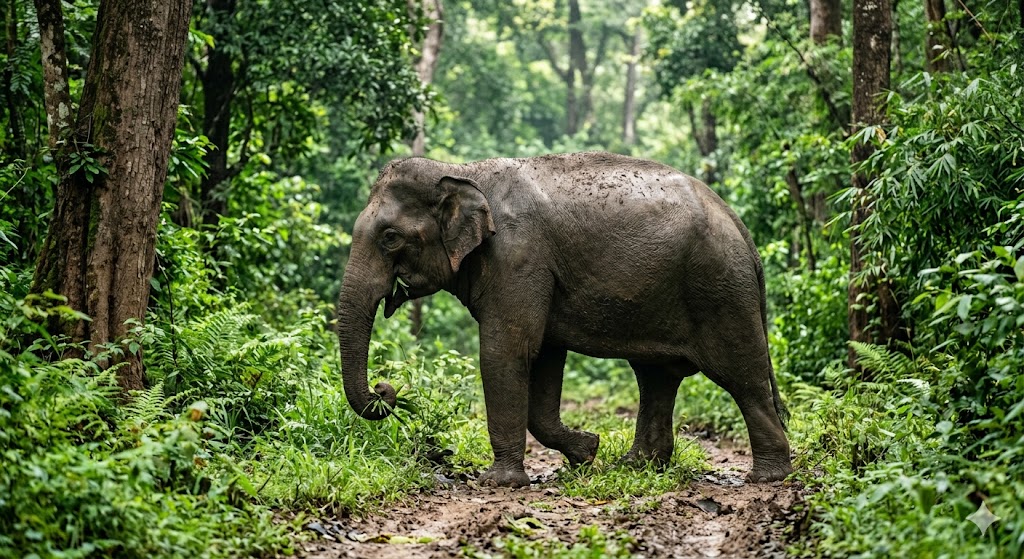
Wild elephant attacks woman in broad daylight...
Read More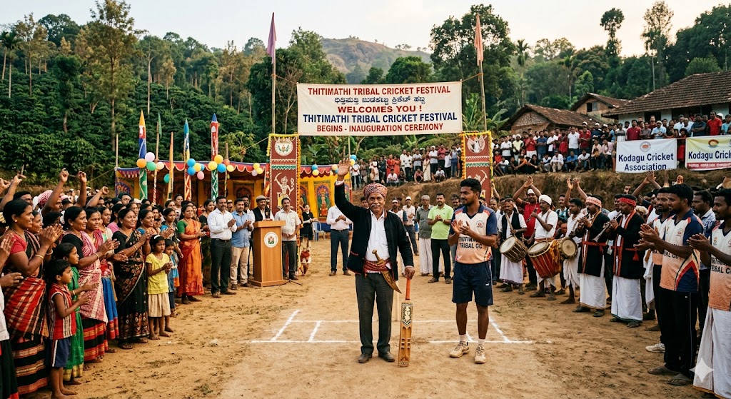
Tribal cricket festival begins in Thitimathi...
Read More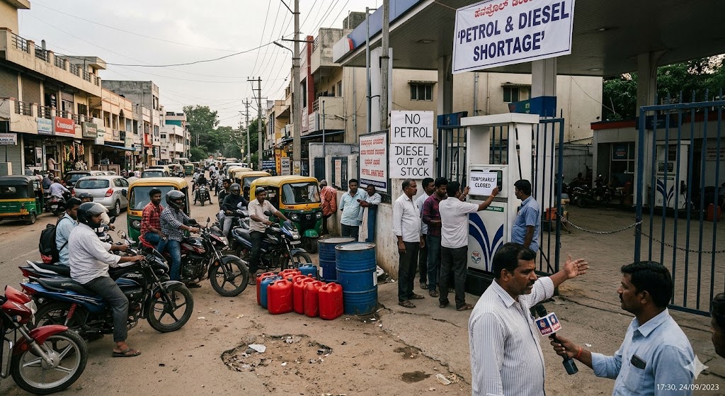
Petrol and diesel shortage in the district too...
Read More
Chennaiyinkote Premier League Team Smash Champions...
Read More