

During the year 2003, the Government of Karnataka had, vide Government Order No. FEE 204 FAP 2001 dated 03-01-2003, assigned the task of creating a geo-spatial database for 19 forest divisions of the state to the Karnataka State Remote Sensing Application Center (KSRSAC), Bengaluru. For the remaining 18 divisions, geo-spatial database had already been developed by the Forest department mainly under the Western Ghats Forestry and Environment Project (WGFEP), which had a project component regarding development of Geographic Information Systems (GIS) and application of Remote Sensing (RS) technology for forest management by KFD.
However, as the database for these 18 divisions was developed through a number of agencies (vendors), there were certain incompatibilities in unifying the database. In order to generate a uniform baseline data for the entire state, it was considered necessary to standardize the database of these 18 divisions so as to make it compatible with the database being developed by KSRSAC for the 19 divisions. Keeping this in view, the Government, vide another Government Order No.
AaPaJee 43 FAP 2004 dated 04-03-2004, assigned the task of standardization of the geo-spatial database of the 18 forest divisions also to the KSRSAC. It was agreed upon that the KSRSAC would take up the task of fresh interpretation of all these 18 forest divisions using the existing geo-spatial database as an ancillary data for reference. In addition, the work of creating a geo-spatial database for all the protected areas (PA) was also taken up by KSRSAC.
In short, the KSRSAC was assigned a comprehensive project to generate database using GIS and RS to be used for planning and management by the Karnataka Forest Department. The objectives of the KSRSAC project were:1. To generate a geo-spatial database comprising of revenue and forest administrative boundaries, transportation network, drainage network, slope maps, etc.2. To acquire process and interpret remotely sensed data to generate a geo-spatial database containing the various forest types/density classes.· Forest types viz., Evergreen forests, Semi-evergreen forests, Moist Deciduous forests, Dry Deciduous forests, Mangroves, Scrub forests, Forest Plantations, etc.· Canopy density classes viz., 0-10%, 10-25%, 25-40%, 40-70% and >70%. 3.
To provide tool for viewing, querying and analyzing the above mentioned geographic data generated in the form of customized standalone software –VASANTHA. The KSRSAC procured the satellite data required for the project from the National Remote Sensing Agency (NRSA), Hyderabad. The data included PAN+LISS III merged Satellite data (Spatial Resolution 5.8 m) and PAN data (Spatial Resolution 5.8 m) pertaining to the period (Dec 1999 – March 2000). These two data-sets were used to delineate Forest Type / Density Classes and to differentiate the Density Classes respectively.
LISS III data of second season (Spatial Resolution 23.5 m) was also used to differentiate the Forest Types. The KSRSAC had used ancillary data from various sources such as Working Plans, FSI thematic maps, Village maps procured from the Department of Survey Settlement and Land Records, Administrative boundary sketches of the KFD, Survey of India (SOI) topo-maps, Inventory records of the KFD and Maps procured from the French Institute, Poduchery. A lot of ground truth information was also collected regarding division-specific spatial attributes for each representative class using Global Positioning System (GPS). The methodology adopted by the KSRSAC consisted of Image Processing followed by Geo-referencing and then Mosaicking and Subsetting. This resulted in generation of division- wise Satellite data.
This was followed by Reconnaissance Survey in which the landscape was traversed for collecting ground truth information. This exercise resulted in the preparation of Interpretation Key to assist in the task of On Screen Interpretation. Then Preliminary Maps were generated and, after these maps were taken to the field for ground truth verification and cross- checking with other ancillary data, Draft Maps were generated.
The Draft maps were again sent for field validation, and after incorporating the feedback received from the field, Final Maps were generated. The KSRSAC generated the following outputs for Karnataka Forest Department during the year 2006.1. Geo-spatial Database;2.
Hardcopy maps;3. Seamless Mosaic;4. Division-wise Atlas;5.
GIS Data Browser - VASANTHA. For a comprehensive assessment and understanding of the forest cover scenario at the state level, the districts have been divided into three groups: Belagavi, Uttara Kannada, Shivamogga, Chickkmagaluru, Udupi, Hassan, Dakshina Kannada, Kodagu, Mysuru and Chamarajanagar have been grouped as districts receiving high rainfall (Malnad). The districts of Dharwad, Gadag, Haveri, Davanagere, Chitradurga, Tumkur, Bengaluru (Urban), Bengaluru (Rural), Ramanagara and Mandya have been grouped as districts receiving medium rainfall (Semi-Malnad). The districts of Bagalkot, Vijayapura, Bidar, Kalaburagi, Yadagiri, Raichur, Koppal, Ballari, Kolar and Chikkaballapur have been grouped as districts receiving low rainfall (Bailuseeme or Maidan).Source: This is an abstract taken from the book, 'Status of forests in Karnataka' (https://bit.ly/2G2iTh0).
The author is Mr. Dipak Sarmah.
.jfif)
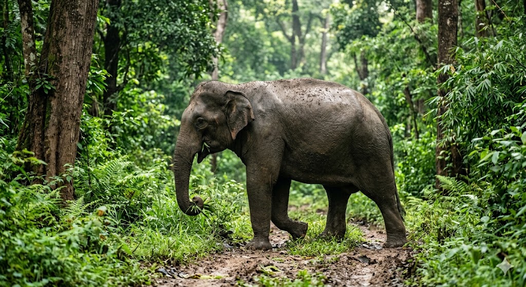
Wild elephant attacks woman in broad daylight...
Read More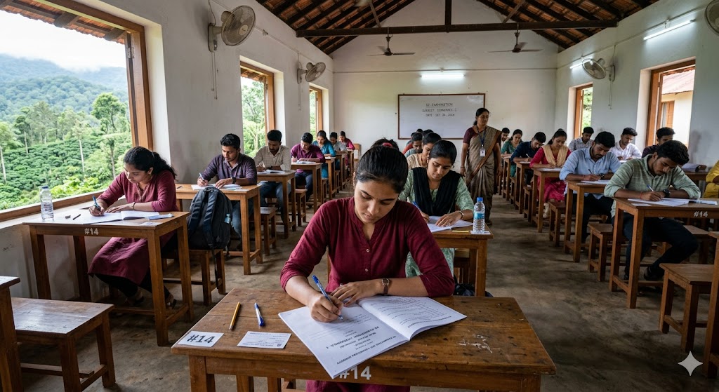
First place in the state after writing the re-examination...
Read More
Tribal cricket festival begins in Thitimathi...
Read More