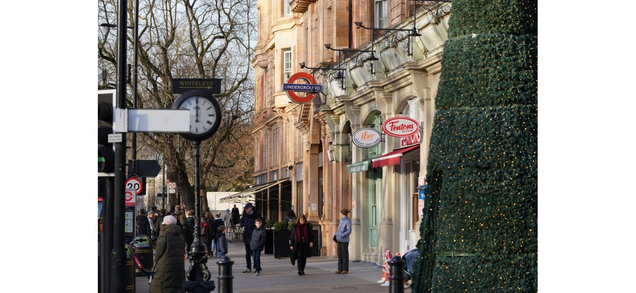
Map displays faster walking routes between London Underground stations instead of taking the tube.
Are you planning a trip to the capital? Have you thought about including walking in your itinerary?
October 11th 2024.

When planning a day out in the bustling city of London, most locals opt for the convenience of the tube, bus, or Uber. However, I have recently discovered that these modes of transportation may not always be the most efficient. As I commute on the Northern Line to work, I have experienced the discomfort of a sweltering and overcrowded tube. And let's not forget the never-ending traffic that can cause delays on the bus. As for Ubers, they can put a significant dent in your wallet. So, is there a better way to travel around London?
Luckily, Transport for London has provided a helpful walking map for navigating the tube stations. This map reveals the average walking time between stations, and some of the results may surprise you. It turns out that most central London stations are less than a 10-minute walk from each other. For example, it only takes four minutes to walk between Covent Garden and Leicester Square, making public transport unnecessary. The map also highlights the busiest travel times, between 05:45-08:15 and 16:00-17:30, where walking could be a quicker and easier option.
But what about stations outside of central London? Well, it's still worth considering a stroll. A seven-minute walk will take you from High Street Kensington to Hyde Park Corner or from Oxford Circus to Bond Street. These are popular destinations for tourists and locals alike, and it's often faster to walk between them than to catch the tube. However, for those living outside of central London, the walking map reveals some interesting walk times.
For instance, a journey from Elephant and Castle to London Bridge takes just 22 minutes on foot, whereas the tube would take longer. Similarly, the walk from Caledonian Road to King's Cross takes 27 minutes, and from Highbury and Islington to King's Cross takes 35 minutes – two busy tube routes. However, the walking map only shows the time between stations on the same line. So, what about stations on different lines?
Well, it turns out that Bayswater and Queensway tube stations are only 210 meters apart, making them the closest tube stations in London. It's just a three-minute walk between the two stations, which is shorter than any other tube journey in the city. So, if you happen to be in that area, why not enjoy a leisurely stroll instead of cramming onto a crowded tube?
Overall, next time you plan a trip in London, consider taking a walk instead of relying on public transport. Not only is it a great way to get some exercise, but it may also save you time and money. So, why not take a stroll and see the city from a different perspective?
[This article has been trending online recently and has been generated with AI. Your feed is customized.]
[Generative AI is experimental.]
0
0
Submit Comment


