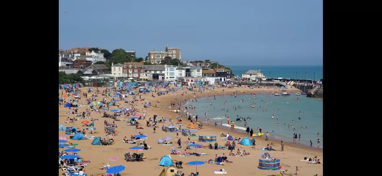
UK set for another heatwave with temperatures reaching 30°C, but not everyone will experience it.
Tropical Storm Debby will impact jet stream and bring hot weather from southern Europe.
August 7th 2024.

Get ready to clear your schedules, because it looks like we might have another beach day on our hands. The UK is gearing up for what could be the hottest days of the year this weekend, with temperatures soaring above 30°C. Some reports even suggest that London and the South East could reach a sweltering 35°C. The Met Office is slightly more conservative in their predictions, but they still anticipate temperatures in the low thirties, which would rival the heatwave we experienced back in July – or possibly even surpass it.
So what's causing this sudden change in weather? It seems that hot air from southern parts of Europe is making its way towards us, aided by a shift in the jet stream above. Dan Suri, Chief Meteorologist at the Met Office, explains that Tropical Storm Debby in North America is strengthening the jet stream and causing it to veer over the Atlantic. As a result, we can expect temperatures to rise as the hot air moves into the UK later this weekend and into next week. Some areas in the south and southeast could reach a scorching 30°C.
But it's not all sunshine and heat – there is the potential for heavy showers or even thunderstorms in other parts of the UK, where the warm air is colliding with cooler air. And don't forget about the nights, as Sunday night into Monday is expected to be very warm as well.
This hot spell comes after a rather lackluster summer so far, with not much sustained sunshine. In fact, July was cooler than usual compared to the last 30 years, while other countries in Europe were sweltering in a heatwave. But as we've seen, weather patterns can change quickly, and it looks like we may be in for some heat early next week.
The reason for this sudden return of hot weather is a combination of factors. The jet stream is building and shifting, which will cause a warmer air mass to descend to the south of the UK. This will create a larger area for hot, and possibly very hot, conditions to develop in the southeastern part of the country. The Met Office advises that this trend will continue throughout the weekend and into the beginning of next week.
However, don't pack away your raincoat just yet. Forecasters warn that there are still a few more unsettled days to get through before the hot spell arrives, as low pressure will still be in charge. In the meantime, stay up to date with the latest news from London, including recent events like far-right thugs looting from Sainsbury's and a map showing where riots have broken out. And remember, always stay safe and don't approach any dangerous situations.
So, get ready for a potentially scorching weekend, and keep an eye on the weather forecast for updates. It seems like the summer weather is finally making a comeback, and we'll just have to wait and see if it sticks around for a while. Stay cool, London!
[This article has been trending online recently and has been generated with AI. Your feed is customized.]
[Generative AI is experimental.]
0
0
Submit Comment


