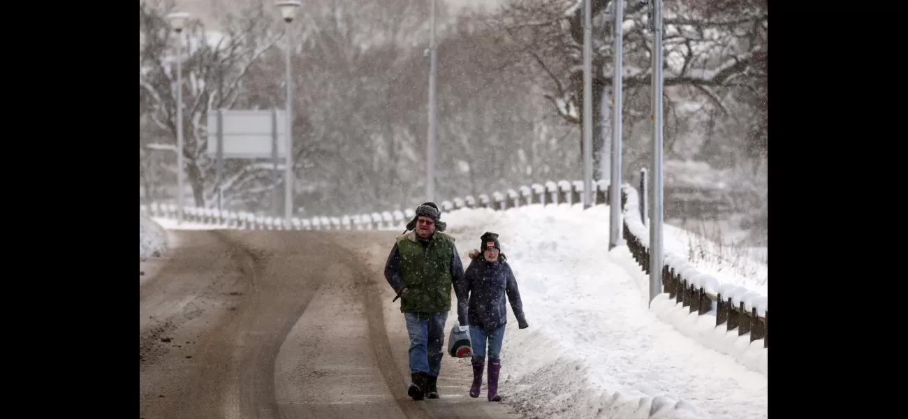
UK preparing for more winter weather, warned of possible 8 inches of snow.
Watch out for slippery roads today due to ice.
February 7th 2024.

The Met Office, responsible for monitoring weather conditions in the UK, has issued a yellow warning due to the looming threat of snow and ice. Meanwhile, ski enthusiasts in popular resorts across Europe may have noticed a lack of snow, but it seems like Britain is gearing up for another round of winter weather.
In some parts of the country, residents have woken up to a dusting of snow and it's expected to continue throughout the day. The Met Office has issued a yellow warning for snow and ice, which will remain in effect until midday on Wednesday. The affected areas include the Highlands, Western Isles, Orkney, parts of Argyll and Bute, and central Scotland. Forecasters have cautioned that travel may become difficult and there could be disruptions in transportation due to the wintry conditions.
The warning predicts that snow accumulations of 1-3cm are likely in the affected areas, with a possibility of up to 5-8cm in the northwest Highlands. In addition to the snow, there is also a risk of icy surfaces, making traveling even more treacherous. This warning will be in effect until midday on Wednesday. Another yellow warning for snow is also in place until 3pm on Tuesday.
Further south, a heavy band of snow is expected to hit later in the week, potentially causing disruptions with up to 20cm of snow in higher areas. As the week progresses, temperatures are expected to drop, prompting the Met Office to issue another yellow warning for snow that covers parts of Wales and northern and central England. This warning is in effect from 6am on Thursday until 6am on Friday.
The updated warning has been expanded to include a larger area and has moved north. It now stretches from Cumbria and the Scottish Borders down to Nottingham, but does not reach the eastern coast. The warning also applies to Northern Ireland and northern Wales. With the potential for heavy snow, there is a risk of power outages, travel delays, and isolated rural communities being cut off.
Thankfully, the snow is expected to ease off later on Thursday and may even turn into rain or drizzle, particularly in the southern and eastern parts of the affected area. Chris Almond, the deputy chief meteorologist at the Met Office, stated that while the beginning of the week may see some heavy rain, there is a growing indication of wintry conditions as the week progresses, with cold air moving in from the north.
[This article has been trending online recently and has been generated with AI. Your feed is customized.]
[Generative AI is experimental.]
0
0
Submit Comment


