Mapping A City
My friend Ro Gupta co-founded and runs a company called Carmera which makes real-time HD maps for the autonomous driving market.
They do this by operating “an owned and professionally crowdsourced vehicular sensor network” (ie Google StreetView) which captures real-time data about what is happening at street level.
In an announcement they made today, they describe a partnership with the City of New York in which they “will share data with the NYC Department of Transportation, including historical pedestrian density analytics and real-time construction detection events. In turn, we’ll gain access to key city data sets that allow all parties to work together to improve the accuracy of street inventories while doing our part to increase private-public transparency.”
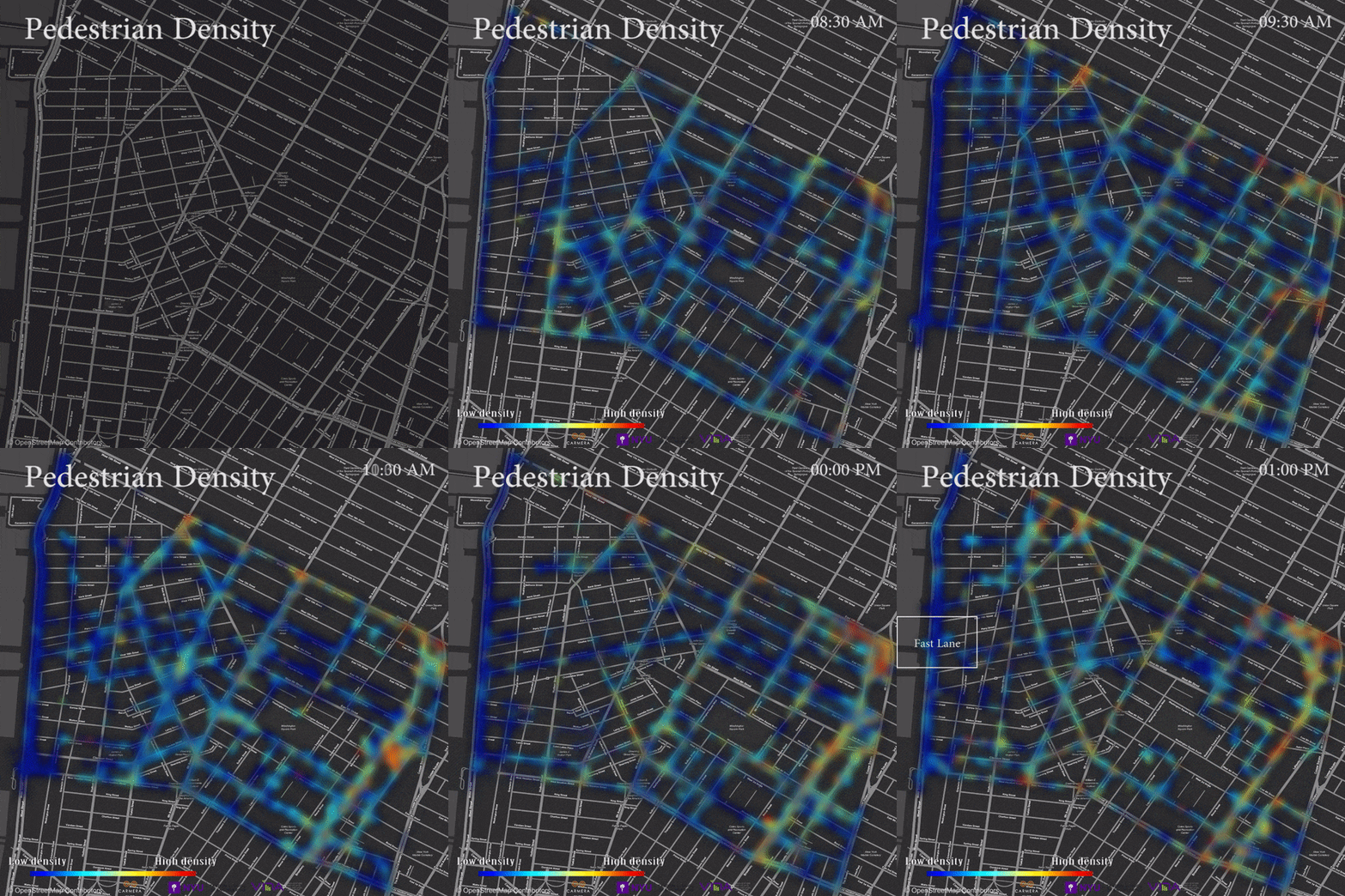
This is an example of a pedestrian density map of the west village in NYC, where we live.

This is an example of a growing trend I am seeing where tech companies, which traditionally have wanted to “do it ourselves”, are partnering with the broader ecosystem (large companies, governments, public agencies, etc) to build more comprehensive data sets.
It is also an example of goverments and other large bureaucracies getting more comfortable sharing their data and being more open to working with startups and the broader tech sector.
This is a very hopeful trend.
We have significant problems to solve in the coming decades around a warming planet, overloaded and failing transportation systems and urban infrastructure, and many other things.
If all sectors of society come together to work on these problems, we stand a much better chance of solving them.


